El Salvador Geography
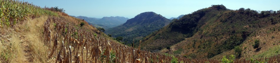
El Salvador is located in the Pacific Coast of Central America. El Salvador is the known to be the smallest Central American Country and is slightly smaller than Massachusetts.To the west of El Salvador lies Guatemala and Honduras is in the northern part of it. Most of the country is on a fertile volcanic plateau about 2,000 ft. high. Known as the Land of Volcanoes; frequent and sometimes very destructive earthquakes and volcanic activity. And El Salvador is extremely susceptible to hurricanes. Most of the land of El Salvador is covered with mountains. There is also central plateau in between the mountain ranges.
Map Of El Salvador
The Geographic coordinates: 13 50 N, 88 55 W
Climate Of El Salvador
The Climate is tropical; rainy season (may to October); dry season (November to April); tropical on coast; temperate in uplands.
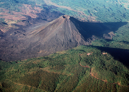
Natural Resources that come from El Salvador are hydropower, geothermal power, petroleum and arable land. The terrain is mostly mountains with a narrow coastal belt and central plateau
